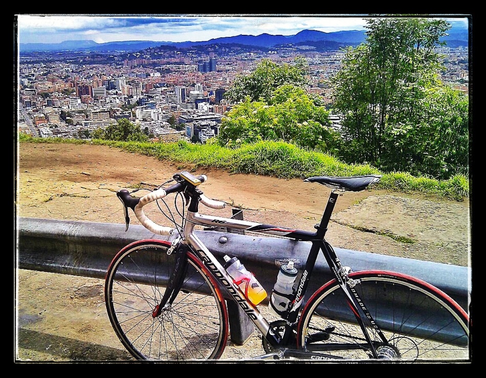
I have been back on the bike recently and had the opportunity yesterday to climb the Cuchilla de Guasca.
The climb is stunning and high(!), topping out at around 3,400m/11,150ft. About 12km at around 5.5% (680 m of climbing in total), getting up takes around an hour at a steady pace, and the incline is enough to keep you working throughout without making you overheat, so you can enjoy the beautiful scenery and quiet roads (see ride profile and power data below). The highway itself is generally in very good shape and wide enough for passing traffic to give you plenty of space. Watch out for the occasional pothole on the descent, but otherwise enjoy!
GETTING THERE. The city of Guasca is about an hour drive from Bogotá heading north via la Calera (map below). The drive is lovely and very scenic, so this is time not wasted. Also, it can be reached on bike via the same road….highly recommended if you have the fitness to do several hours and several climbs on the bike in one day.
SAFETY TIPS. As with most of these rural rides around Bogotá, it is best to go in a larger group or with a friend/driver following in a support vehicle. While not necessary, this is the best way to prevent unfortunate run-ins with bike thieves on some of the quiet roads around Bogotá. In general, it is also just really nice to have the car in case of mechanical problems or if the hilly countryside around Bogotá just wears you out. ALSO, it is not necessarily advisable to ride down the other side of la Cuchilla.
MAP CLIMB UP LA CUCHILLA DE GUASCA
CUCHILLA DE GUASCA CLIMB PROFILE (NOTE that this profile also includes an 11-12km approach to Guasca from Sopó). Compliments of Altimetrías de Colombia

EXAMPLE POWER DATA FOR CUCHILLA DE GUASCA CLIMB

MAP (DRIVING or CYCLING) BOGOTÁ to GUASCA